Urbanization
The city of Brownsville is a medium-sized city with a population of 183,823 as of 2016. It is the county seat of Cameron County which has a population in excess of 420,000. Projections prepared by the Texas Water Development Board suggest that by 2070, Cameron County’s population may increase by 116 percent.
Brownsville’s population in 1990 was about 115,000 residents and it has continued to grow until now, with the exception of the years 2000 and 2010 followed by normal or higher numbers in population in the following years. According to the city’s Land Use Plan (2009), the eastern periphery of Brownsville is designated for manufacturing (north) and dwelling districts (south) with a majority of the commercial land uses concentrated in linear strips of existing development along major transportation corridors such as southern portions of Padre Island Highway, Boca Chica Boulevard, and US Highways 77 and 83.
This infrastructure will likely facilitate the extension of urban development into the Palmito Ranch area. The increase in urban density, along with the high rise buildings on the South Padre Island side, will also cause a viewshed disturbance around the site. Furthermore, any expansion of the Port of Brownsville’s heavy industrial infrastructure represents a potential threat as well by diminishing the overall quality of the site’s integrity through damage to the historic viewshed.

Rapid population growth across the LRGV area is due in large part to increased trade with Mexico and other parts of Central America. Following implementation in 1994 of the North American Free Trade Agreement (NAFTA, U.S. Public Law 103–182), trade grew substantially throughout the Americas and Canada. The LRGV’s strategic location between Central America and the US facilitated its emergence as a significant warehouse and transportation center. Additionally, close proximity to a large manufacturing base in northern Mexico across the Rio Grande has also translated into increased population and economic activity in the Brownsville and LRGV areas as a major shopping and vacation destination for Mexican citizens.
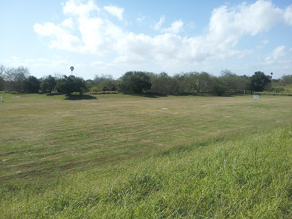
Residential and commercial development from the city of Brownsville is sprawling eastward toward the battlefield site. The city prepared an extensive comprehensive plan in 2009 indicating planned growth in employment and residential development up to the existing limits of the NRHP boundary. This pressure from encroaching development poses a threat to Palmito Ranch. The construction of a golf course in the 1950s (closed in 2015) and a levee have already caused destruction of the Confederate headquarters at nearby Fort Brown, with the exception of the section of the curtain wall and a redoubt.
In fact, dozens of Civil War sites have been replaced by golf courses all across the country (Whitten, 2011). Previous urbanization and industry built around the site developed many acres of marshland adjacent to the battlefield. The surviving elements of Fort Brown were designated as a National Historic Landmark in 1960. Additionally, condominiums and hotels on South Padre Island impede the viewshed of the site. The loss of these historic sites adds to the importance of preserving the Palmito Ranch Battlefield and provide examples as to what could be a similar fate without adequate protection of its rare, pristine landscape.